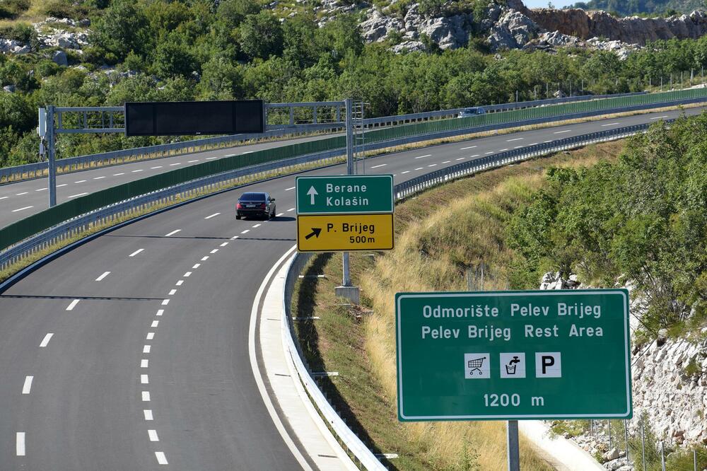
The report on the environmental impact assessment for the future section of the highway from Mateševo to Andrijevica is up for public discussion until July 24.
According to the data from that document, the section will be about 23,5 km long, which is about 14 percent of the total planned length of the Bar - Boljare highway. The area on which the road will be built administratively belongs to the municipalities of Kolašin and Andrijevica, and that corridor is defined and approved by the Spatial Plan of Montenegro.
The entire planned route of the Mateševo - Andrijevica highway section stretches through mountainous terrain, and the projected speed is 100 kilometers per hour.
"The future section of the highway starts near Mateševo, at an altitude of about 1.000 meters above sea level, then along the valley of the Drcka River - a tributary of the Tara River. From Mateševo onwards, upstream along the valley of the Drcka River, the terrain rises all the way to Trešnjevik, i.e. to an elevation of 1.686 meters. The highway continues through a tunnel through Trešnjevik and enters the valley of the river Kraštica, a tributary of the Lim. From Trešnjevik, the route descends downstream through the valley of the Kraštica River, to its confluence with the Lim, i.e. to an elevation of about 770 meters," the Elaborate writes.
On that section, two loops are planned, in Andrijevica and Mateševo, 34 bridges, a double tunnel, a rest area with a gas station and a service station...
With the construction of the subject section of the highway, it was stated in the Elaborate, "an increase in the mobility of the population should be expected, which opens up opportunities for the development of certain activities that improve the social structure".
"Also, the construction of the highway enables settlement, that is, an increase in the number of inhabitants and a better connection of settlements, improving the accessibility of the municipal centers of Andrijevica, Beran, Petnjica, Plava and Gusinje with the capital. The local population as users of the highway will realize a number of advantages... Changes in the value of the surrounding land are also expected, primarily due to its new purpose and the proximity of the highway loops...", are some of the benefits of the construction of that section, the document says.

The first section of the 42-kilometer highway, which cost about one billion euros, was officially opened for traffic on July 13 last year, with a delay of three years and two months from the original deadline. It was announced that even this year the construction of the new section will begin and that most of the money will be provided from EU funds. However, as the Ministry of Capital Investments recently told "Vijesti", the development of the main project for the second section of the highway has not yet begun.
From the Investment Framework for the Western Balkans (WBIF), non-reimbursable money was received for the development of conceptual projects with environmental impact assessment studies, for the Mateševo - Andrijevica section and the Podgorica ring road, in the total amount of 5,49 million euros.
The Bar - Boljare highway is planned to be 169 kilometers long and will be part of the road route Belgrade - South Adriatic, which is a branch of the Trans-European Highway (TEM).
Bonus video:


