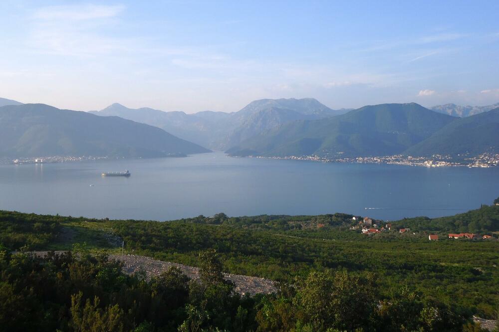
Monteput announced a public call for the development of conceptual solutions for the section of the high-speed road, which goes from the border with Croatia through the hinterland of Herceg Novi and the Bay of Kotor to Budva. The value of this call is 181 thousand euros, and the designer's task is to analyze all variants of connecting the two coastal cities, especially considering the restrictions in the area of Kotor.
As stated in the public invitation published yesterday on the Government's website, this documentation is the basis for determining the position of this corridor in the proposal of the Spatial Plan of Montenegro (PPCG), and will also serve as a plan for future Government investments in traffic infrastructure.
The goal of creating technical documentation is to examine alternative roads for this expressway and its connection with parts of the main road network. Its beginning is at the Debeli Brijeg border crossing, then through the hinterland of Herceg Novi it reaches Tivat or Kotor and connects to the section from the Bratešič zone to Budva. It is emphasized that it is important to analyze the wider area and take care of the connection of the expressway with Tivat Airport and Kotor.
The draft PPCG did not offer a final solution on how to make this expressway go around the centers of coastal cities, shorten the distance between them, cross the Bay of Kotor and reduce congestion. The bridge near Verigo is listed as one of the options, but there are negative opinions about it. Another option is to continue the high-speed road from Tivat across the Luštica peninsula, and to cross over to the Hercegovina side near Kumbor.
"When creating conceptual solutions, one must take into account spatial and planning aspects in terms of choosing the optimal route, location and concept of uneven intersections, toll ramps, location of accompanying and functional contents, ecological aspects, existing infrastructure, existing cultural assets, religious buildings and all other facilities that may be relevant for making a final decision on the position of the route", the announcement reads.
It was also emphasized that the natural and cultural-historical area of Kotor should be looked at, in order to preserve it in accordance with the world heritage. In addition, it is stated that technical documentation was previously prepared that dealt only with certain variants of the corridor of this road, so it is necessary to make conceptual solutions for potential variants for which technical documentation does not exist. The previous documentation is the starting point for conceptual solutions that the investor will submit to the chosen designer.
Bonus video:


